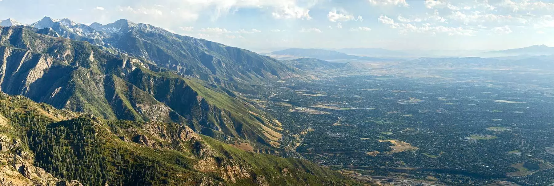

As we welcome in the new year, Utah House Bill 48 is now in effect. An estimated 60,000 structures are now sitting in what the state has deemed high risk zones. These zones will all be tracked on the state’s new High Risk Wildland Urban Interface (WUI) maps.
With these new changes, several of my customers have already reached out questioning how this new map will affect their insurance premiums in the coming year.
The Truth About Insurance Maps
The truth is that insurance companies have been using similar maps for several years now. These maps, while still not perfect, are slowly being revised and improved upon. Many carriers often utilize 2 to 3 different vendors for these maps and compare results. HB 48 doesn’t replace these maps, but carriers will now be required to reference Utah’s map in addition to their own when making underwriting decisions.
What does this mean for policy holders in wildfire zones?
- Decision Transparency: If an insurer increases rates by 20 percent or more, or cancels your policy due to wildfire risk, they must now provide a factual justification upon request. While they are required to reference the state map, justifications can still include the use of additional underwriting data from their own wildfire mapping and other proprietary resources.
- A Standard Baseline: One of the primary goals of this map is to establish commonly recognized wildfire territories. Insurer maps can vary widely depending on the data points used. HB 48 will hopefully help unify these data points and add predictability for property owners and future buyers.
- Fees and Mitigation: Outside of insurance premium changes, if you are in a high-risk zone, you will see a new “Mitigation Fee” on your property tax bill this year. This fee for homeowners should be between $20 and $100. This money is being set aside to fund lot assessments that will assess your individual property’s wildfire protection. By 2028, these fees will shift to a Triage Score. The better you protect your property by clearing brush or installing fire rated siding, the lower that fee gets.
- Can You Challenge Your Rating? These maps aren’t set in stone. Cities and counties can request updates as they build fire breaks or improve water access. On an individual level, you can request a certified lot assessment. If you’ve done the work to create defensible space, you can get your property reevaluated. These assessments are good for five years.
- Will Fire Mitigation Efforts Change My Premium? The short answer is maybe. Currently, reinsurers have set hard rules for carriers based on existing wildfire mapping and scoring. Due to these requirements, properties with a high wildfire risk have been mostly declined or non-renewed by state admitted insurers. Because of this, a small handful of insurers have started covering these properties but are charging significantly more in premium or excluding wildfire coverage. For carriers that are still willing to offer coverage, premium discounts have been limited to discretionary underwriting credits. Many properties I have worked on have also been subject to high minimum premiums where further premium credit has been unavailable. In the coming years, as the state assigns triage scores, it is likely that carriers will start to utilize this information when considering premiums. We hope that more admitted carriers will be able to consider insuring properties with low triage scores in the future, but unfortunately, in my opinion, this will likely not happen until more states implement similar regulations to HB 48. Much of what insurers are willing to do will depend on reinsurers relaxing their regulations. Due to the increasing number of catastrophic property losses caused by wildfires in recent years, reinsurers are still very concerned about this hazard on a national level.
My Advice: Don’t Panic
To check if your property is in a wildfire zone, go to the Utah Wildfire Risk Explorer and look up your address. If you are in a wildfire area, don’t panic. Many of the properties in these areas have already been assessed by insurers over the past few years and your policy will likely renew without any changes needed. Generally, insurers will not cancel a policy mid-term without significant material changes to the insured property or its use. In short, the new wildfire mapping should not result in any immediate disruptions to most policyholders.
There are likely some properties that will appear on the Utah map that were not on maps used for prior underwriting. It is possible that insurers will non-renew or increase premiums for these properties, but this should not occur until your next renewal. If you are concerned about your upcoming renewal, reach out to your agent to discuss options moving forward.